Long Range Transport Flight Template
Falcon
Geophysica
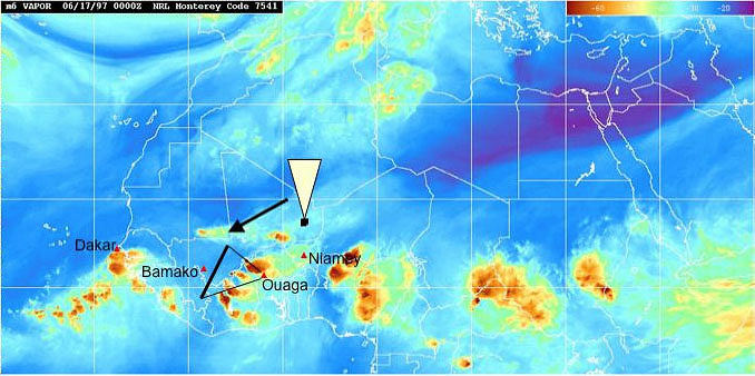
The aim of this flight template is to sample the TTL region along a north-south transect to cross the latitudinal gradiend of the region likely affected by the general transport. This flight should take place when MCS activities in the region is at a minimum.
 |
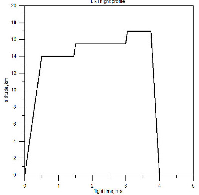 |
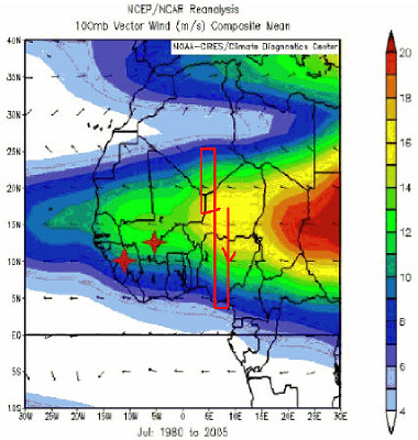
| North-south M55 transect, superimposed to the wind speed and direction over West-Africa at 100 hPa for the month July from NCEP reanalysis 1980-2005 (courtesy U. Schumann) | Time-height template for the LRT flight profile. According to this profile, three different legs of constant altitudes in the TTL will be reached. Alternative flight profiles, with four legs of equal length, with the fourth leg higher in the stratosphere, may be envisaged depending on the forecasted situation. |
The flight path will head southward at 14 km altitude, then back northward at higher altitude, then back south again at higher altitude, to land in Ouagadougou. Two altitude flight profiles might be envisaged, according to the tropospheric-stratospheric forecasted situation. One with three ascending legs all in the TTL, namely from 14 to 17 km, one with four legs, the last namely at 18 km, above the TTL.
 top
top- M55-AMMA-SCOUT-O3 Campaign Team 2006 contact: Sylwester Arabas <slayoo@igf.fuw.edu.pl>, Martin Streibel <Martin.Streibel@ozone-sec.ch.cam.ac.uk>